Client
Stantec
Year
2019-2020
Location
Democratic Republic of the Congo

Project background

Sites that have not been inventoried or evaluated

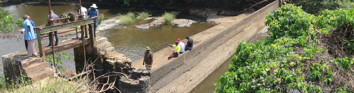
Katanga has a very extensive river system and high rainfall. Although spread across the entire province, this potential is heavily concentrated in the southwest, particularly in the territories of Lubudi, Mutshatsha Kapanga, and Dilolo. It is estimated at nearly 2,231 MW, but to date, many sites have not been inventoried or evaluated.

Installed capacity (hydroelectric and thermal) is around 567 MW, while current demand is estimated at nearly 900 MW, including 600 MW for the mining sector alone. The province therefore has an estimated electricity deficit of 333 MW. With the rise of the mining industries (which are planning to switch to local refining), demand is projected to reach 2,100 MW by 2030.

3E Ing. was commissioned to

Assess the hydroelectric power generation potential in Katanga

In this context, 3E Ing. was commissioned to assess the potential for hydroelectric power generation in Katanga. More specifically, 3E Eng.’s technical experts carried out the following tasks:

  1. Identify the location of potential hydroelectric sites in order to plan field visits. This preliminary location was carried out by analyzing river profiles using digital mapping tools such as Google Earth and Global Mapper.
  2. For all hydroelectric sites, evaluate the classified flow curves and waterfall heights, make an approximate assessment of the potential output, and identify the main challenges (energy distribution to the national grid or to an isolated network, difficulties related to accessibility, development, and construction, etc.). Based on the results of this preliminary analysis, propose priority sites according to the mission’s objectives.
  3. For the prioritized sites, evaluate the main characteristics of the structures, including, among other things, installed capacity, potential output, equipment flow rate, type of turbines, reservoir volume and surface area, and dam type and dimensions.
  4. Propose a preliminary development plan on Google Earth for the components of the prioritized sites, including, among other things, the dam, the power plant, the water intake, the spillway, and the intake canal.
  5. Visit a potential geothermal site and participate in the assessment of production and costs.
  6. Estimate the costs of hydroelectric power generation sites as well as the costs of electricity distribution and transmission networks.
  7. Analyze topographic data with Global Mapper and Google Earth.
  8. Develop rural electrification options related to the construction and operation of new power plants, highlighting the design and operation aspects of the distribution networks to be built.
  9. Briefly propose geographical network options and technological options (network voltage, location of main transformers).
  10. Establish the technical and financial pre-feasibility of electrification projects (urban and rural distribution networks, solar power plants, autonomous solar systems, biomass generation).
  11. Conduct analyses to identify rural communities and villages requesting electricity, characterizing them by demand type, location, and consumption potential.

About assessing the potential output of hydroelectric power generation sites

For your hydroelectric site studies, 3E Eng. offers you its expertise and software.

Height-Area-Volume of the reservoir

Using topographical data, 3E Eng. evaluates the height-area-volume curves of the reservoir.

Production and base capacity

Our calculation tool then estimates the multi-year power and energy output of the plant using 1-hour simulation steps. For each of these hours, water inflows, evaporation, demand based on the load profile considered, and the turbine flows required to meet this demand based on the head at that time are calculated. The hourly balance of water received and returned is then used to establish the reservoir level for the following hour. The basic annual output is evaluated by considering a specified production deficit rate that must not be exceeded.

Annual benchmark rate

The reference level corresponds to the minimum reservoir level that must be maintained at all times of the year between the maximum and minimum operating thresholds in order to ensure that the basic annual production target is met. This reference profile is established by considering the annual reservoir elevation profiles over several years after base production and also takes into account a safety margin above the minimum operating level. This then makes it possible to evaluate the additional potential yield based on the water accumulated above the reference profile.

Surplus output

Surplus generation capacity corresponds to the production that the plant can supply and sell in excess of base load production. This generation capacity therefore depends primarily on the surplus water available in the reservoir and the plant’s production capacity after base load production.

We can help you!

Questions about calculating the output of a hydroelectric power plant?

These customers trust us